Flight Climatic Analysis (FCA)
It contains interactive tools to analize how near-ground atmosphere anomalies may affect, among many, aviation operations.
You might be interested in this section if you have questions such as:
Which is the impact of climate change on a given airport?
How are the climatic conditions, on the ground, changing though the years?
In which month there might be higher risk of take off limitation, due to exceptional wind speed at the ground?
The FCA section of the DESTINE platform is available at https://insula.destine.eu/perception/dashboard/ccplan/fca
In order to better navigate the FCA section, explore the maps that are available by changing the atmospheric variable as follow:
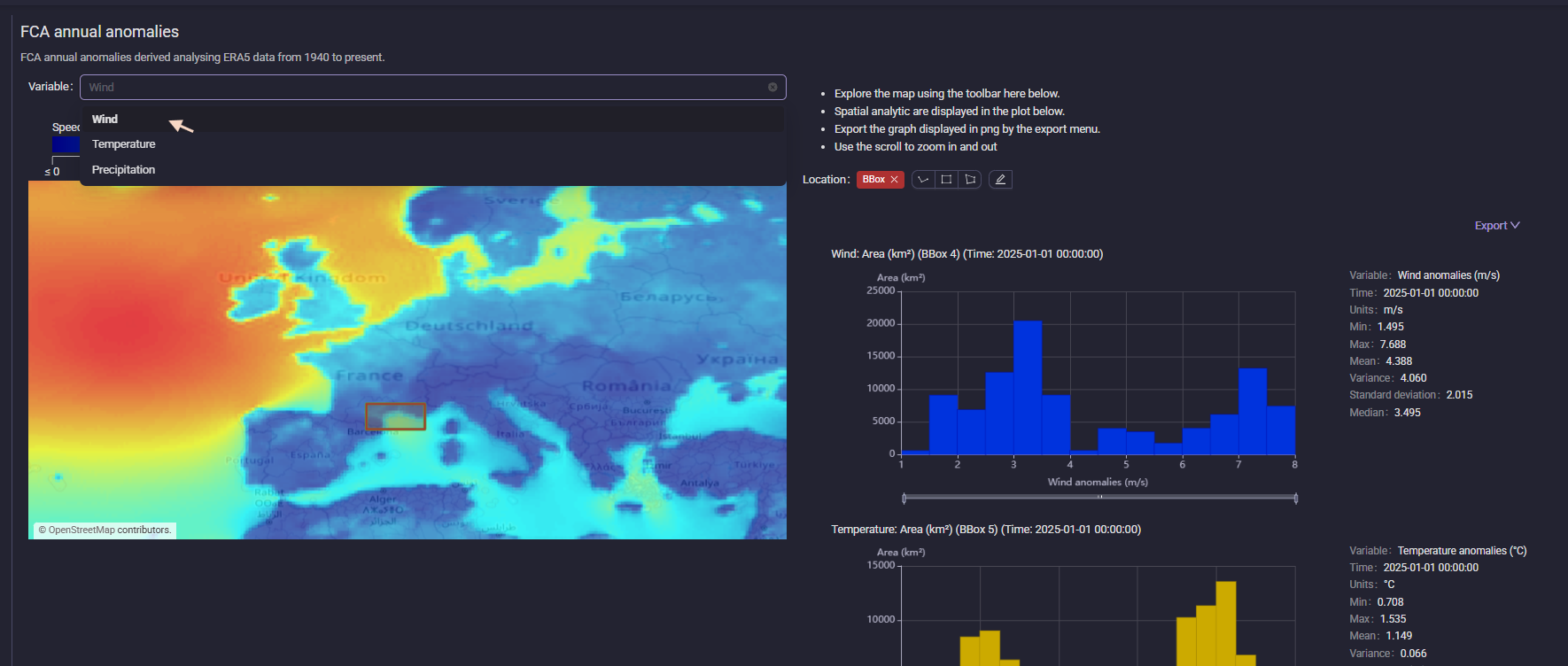
The anomaly maps represent these atmospheric variables, which are extracted from the ERA5 reanalysis dataset:
Wind: Wind speed at 10m above ground (m/s)
Temperature: Air temperature at 2m from the ground (°C)
Precipitation: Daily precipitation (mm/day)
Each of these variables may affect aviation operations in different ways, and their analysis can provide insights into how changing climatic conditions may impact the aviation industry.
For example:
high wind speeds can lead to turbulence and affect flight safetywhile changes in temperature can influence aircraft performance and fuel efficiencyincreased precipitation can lead to delays and cancellations due to floodings, expecially if the airport is close to the sea.
The combined analysis of these anomalies can support the design of airport runways.
From this starting point the user can explore the dashboard in all its functionalities.
If none of these pages answer your question, or if you have suggestions for improvement, please contact us at https://platform.destine.eu/support.