CC-PLAN documentation
Climate-change adaptation and planning tool
As climate change increasingly affects the way we live, both adaptation and mitigation measures are essential for enhancing the adaptive capacity of communities. A data-driven dashboard enables decision-makers to visualize, interpret, and act on climate-related information more effectively.
CC-PLAN is built on Synthesis, a tool within the Insula processing framework.
CC-PLAN supports two operational themes, including:
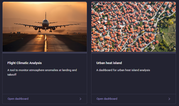
Flight Climatic Analysis (FCA) - Supporting air route planning by analyzing how changing climatic conditions may affect aviation operations.
Urban Heat Island (UHI) - Providing insights for urban planning to address and reduce the impacts of urban heat waves.
Flight Climatic Analysis
It contains interactive tools to analize how near-ground atmosphere anomalies may affect, among many, aviation operations.
You might be interested in this section if you have questions such as:
Which is the impact of climate change on a given airport?
How are the climatic conditions, on the ground, changing though the years?
In which month there might be higher risk of take off limitation, due to exceptional wind speed at the ground?
Urban Heat Island
It contains interactive tools to measure the urban heat island effect.
You might be interested in this section if you have questions such as:
Which is the correlation between land cover and surface temperature in a city?
Where are the urban hotspots located?
What is the impact of past land-cover changes (e.g. from vegetation to a parking lot) on surface temperature?
Are the applied mitigation measures performing as expected?
The following pages provide a guidance to the CC-PLAN’s themes and capabilities.
You may also find it useful to refer to:
The list of FAQs. The list of Known Issues.
If none of these pages answer your question, then please contact us at https://platform.destine.eu/support.