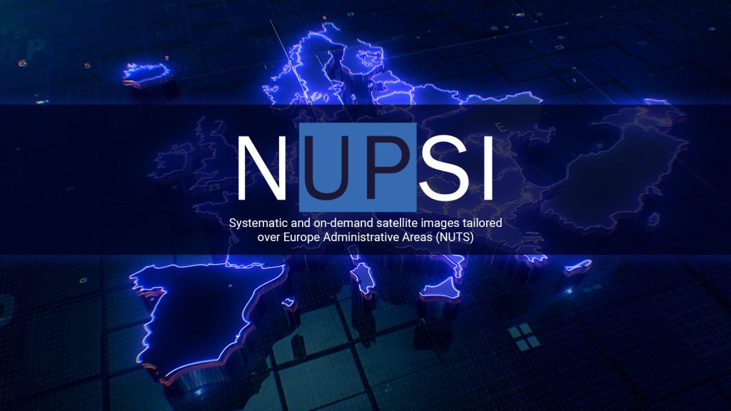
We are pleased to introduce NUPSI (NUts Production Storage and Imagery service), a new interactive service designed to transform how users explore, visualise, and analyse Copernicus satellite data over Europe and beyond.
Intuitive access to EO data
Developed by partner Alia Space Systems, NUPSI offers an intuitive gateway to Earth Observation data, placing the focus on what happens, where it happens, and when it happens. By combining user-friendly controls with application-driven visualisations, the service allows users to quickly access and interpret satellite-derived information over predefined European NUTS regions (from national to local scale) as well as fully custom Areas of Interest.
Time-based exploration and change analysis
One of NUPSI’s key strengths lies in its seamless time-based exploration. Through an interactive monthly timeline, users can track changes over time and observe the evolution of environmental and territorial parameters with just a few clicks. This makes the service particularly valuable for studies in agriculture, environmental monitoring, land-use change, and urban dynamics.
Flexible interaction paths for different user profiles
NUPSI supports multiple interaction paths, adapting to different user profiles. Guided visualisations help non-expert users discover satellite information effortlessly, while more advanced users can directly access specific bands, indices, and temporal selections for deeper analysis. Areas of interest can be defined flexibly, using administrative boundaries, freehand drawings, imported GeoJSON files, or official GISCO units.
Access to pre-processed data and reusable outputs
The service also provides access to pre-processed Sentinel mosaics and will allow users to request tailor-made data extractions, with ready-to-use GeoTIFF products available for download. Favourite visualisations can be saved and reused, making it easy to return to previous analyses and ensure continuity across studies.
From EO data to actionable insights
By lowering the entry barrier to Earth observation data while still supporting advanced analytical workflows, NUPSI significantly enhances the user experience in data visualisation and analysis. It strengthens the connection between satellite observations, analysis-ready datasets, and future Digital Twin Earth applications, empowering users to turn EO data into actionable insights.
Discover NUPSI here!