The DestinE Platform continues to grow its ecosystem with several new services currently in preparation for integration and future availability.
These upcoming services strengthen the platform’s data access, processing, analytics and AI capabilities, while also introducing application-oriented services tailored to specific themes and real-world operational needs. They are designed to support users across the full workflow: from data discovery and processing to advanced analysis, modelling and decision support.
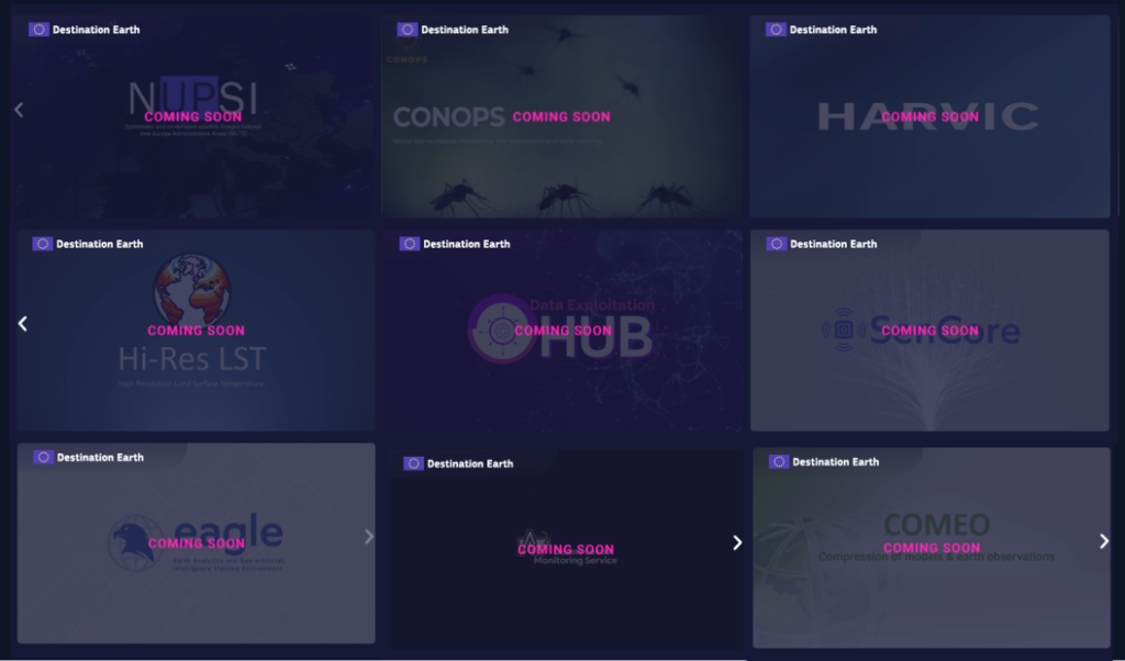
- HARVIC – A satellite-based monitoring service tailored for the potato sector, providing specialised analytics and remote-sensing products to support crop monitoring and decision-making.
- SenCore – A real-time sensor data integration platform that brings together IoT and ground-station streams for environmental and observational workflows.
- EAGLE – A geospatial AI platform for Earth Observation data that enables users to process, analyse and derive insights with intuitive tools and machine learning workflows.
- Hi-Res LST – A service providing high-resolution (30 m) land surface temperature data using advanced machine learning applied to Sentinel-3 products, supporting urban planning, agriculture, energy and infrastructure analyses.
- Data Exploitation Hub – A one-stop gateway for discovering, accessing and processing diverse Earth observation datasets through harmonised APIs and user-friendly interfaces.
- COMEO – A service designed to compress Earth observation and modelling data through efficient lossy algorithms, facilitating faster transfer and usage.
- CONOPS – An early-warning service providing forecasts and risk indicators for mosquito abundance and mosquito-borne disease transmission, supporting public health preparedness and decision-making through Earth observation data, modelling and environmental analysis.
- Desert Locust Monitoring Service – A satellite-based monitoring and early-warning service designed to track, assess and help mitigate desert locust outbreaks, supporting food security and environmental risk management.
- NUPSI – A service providing intuitive access to satellite-derived insights for any area of interest, from standard European NUTS regions to fully custom-defined AOIs.
We invite users to follow the platform’s updates for information on these new services. Technical documentation and usage guidance will be made available, and users will be able to explore the services once they are fully onboarded to the DestinE Platform.