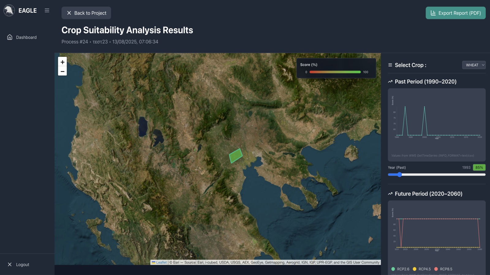
The EAGLE platform is a Geospatial AI service designed with a responsive, user-friendly interface to facilitate Earth Observation (EO) data processing and analysis. It enables users to upload EO datasets, leverage pre-trained AI models, and create new object detection workflows within an intuitive, no-code environment. The system supports annotation through an integrated tool offering various annotation types and class-based tagging. It streamlines the entire process, from project setup and data annotation to model configuration and running inferences, all within a unified interface. EAGLE also supports model training tasks on user-preprocessed data, ensuring transparency and reproducibility throughout the model lifecycle. Future capabilities include advanced AI methods, integration of additional EO data sources via federated STAC APIs, real-time data processing, and enhanced user collaboration.
Geospatial AI platform for Earth Observation data processing, analysis, and AI model training and inference.
About the service
Service details
FUNDED by:
STATUS:
Beta Testing
version:
2.0.0
Thematic Areas
AI & Advanced Analytics
Cross-sectorial services
Data Access
Policy Making & Decision Support
Gallery


Resources
This tutorial demonstrates how to use EAGLE to build a change detection pipeline by comparing two Sentinel-2 images of the same area acquired at different times and automatically identifying changes on the ground.
This tutorial demonstrates how to use EAGLE’s SAM 3 Interactive Segmentation node to detect and map objects in high-resolution satellite imagery using text or visual prompts, without requiring labelled training data or model retraining.
This tutorial provides a step-by-step guide to EAGLE, introducing its visual interface, workflow structure, available nodes and tools for creating geospatial AI pipelines.