[getServicesFromRegistry_shortcode]
Access and exploit data
The Urban Square project aims to provide tools to analyse and anticipate
environmental threats in urban areas: air quality, fluvial flood, sea level rise, urban
heat, infrastructure damages and impact on resources.
Insula, the Hub between Data and Decisions. Effortlessly process complex information and generate clear visualizations, transforming raw numbers into insightful maps and graphs.
The Quantum Service offers a range of emulator environments based on popular quantum computing frameworks. These environments are accessible through JupyterLab notebooks.
Aviso is a data notification service supporting geographically distributed workflow automation. It allows users to track DestinE data events and trigger own user events and easily send and receive notifications.
The Destination Renewable Energy (DRE) Service forecasts and assesses solar and wind energy potential using real-time and historical data, offering tailored simulations, 2-day forecasts, and interactive visualizations through a secure digital platform.
“Destination Earth Sea Ice Decision Enhancement” service providing comprehensive sea ice and related information for policy and operational decision makers in the Baltic Sea, European Arctic Ocean, and other polar regions.
Polytope is a web service to provide efficient access to hypercubes of DestinE Digital Twin data, also federating access between geographically distributed resources. Users can access the data via a client Python package.
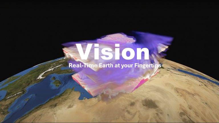
Vision is an application running on user’s device, connected to a back end on DestinE Platform that offers an advanced 3D rendering technology providing on demand access to Digital Twin data produced by ECMWF and puts them at user’s fingertips on different platforms, from PC and Mac, to Virtual Reality and Augmented Reality devices, making complex data accessible and understandable to a broad audience.
Process and visualize fish biologging data in combination with climate projections to improve marine conservation planning and fisheries
management under changing ocean conditions.
GeoAI is a cutting-edge geospatial AI platform that revolutionizes the way businesses and individuals harness the power of AI for earth observation use cases. Effortlessly design and implement your custom AI-driven solution.
Monitor and anticipate the practicability of tourist activities according to environmental and weather conditions in your territory.
DestinEStreamer revolutionizes Earth Observation and climate data management, leveraging tech for seamless access, streamlined processing, and new services.
A novel urban digital twin application to model environmental, social, and economic impacts of road network, mobility and urban fabric interventions.
SesamEO makes data from Copernicus and others (statistics, atmospheric or climate) accessible via themes and collections from the catalogues. Collections can be browsed and searched by keyword. Products can be viewed, filtered and downloaded according to the provider’s capabilities.
The Data Cache Management Service (DCMS) supports the Digital Twin initiative by managing and expanding the DestinE Platform’s Data Portfolio, providing access to EO data through efficient data handling, storage, and user-driven data requests.
Insula the Hub between Data and Decisions. Seamlessly incorporate your algorithms and leverage the powerful orchestrator for large-scale data processing with Insula processing.

