We are happy to announce the release of TwinCity, a new demonstrator now available on the DestinE Platform Learning Hub. The demonstrators featured in the Learning Hub are interactive tools designed to showcase how the DestinE Platform can be used to explore, understand, and communicate climate-related challenges in an engaging and accessible way.
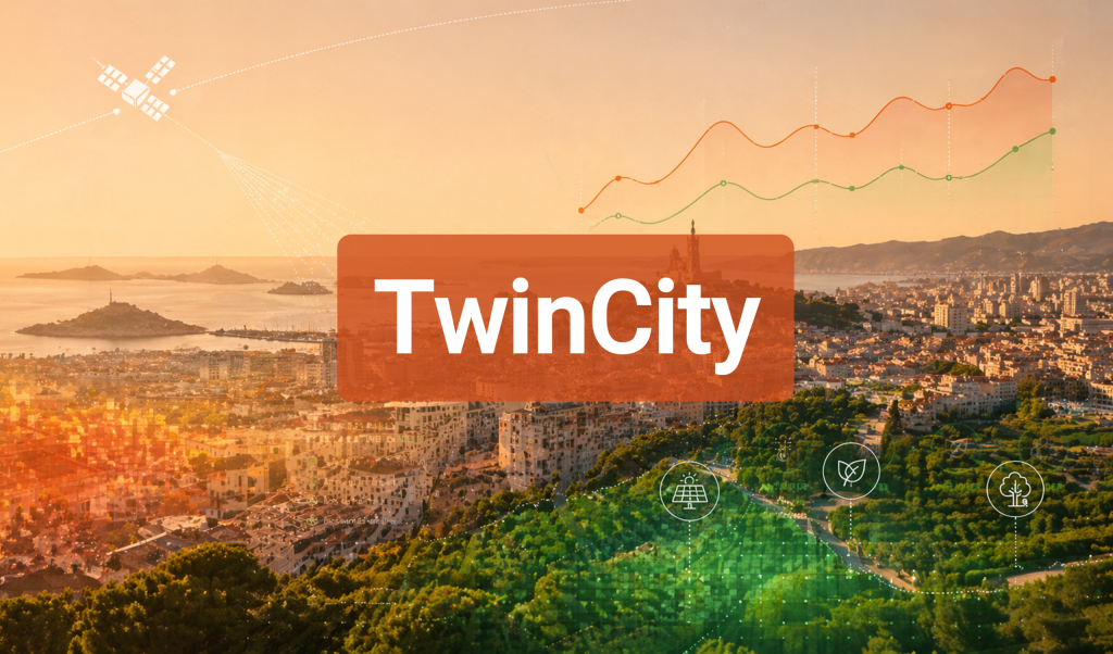
Developed by Mines Paris – PSL, TwinCity provides a city-scale digital twin designed to support urban analysis and decision-making. The demonstrator brings together heterogeneous satellite data, LiDAR data, and model outputs to generate insights on climate, energy, and urban nature, with a first implementation focused on the French city of Marseille.
TwinCity demonstrates how urban digital twins can support planning and decision-making, particularly in data-scarce environments. It focuses on interoperability and open standards by making the extracted data available in two ways: as a web service that allows non-expert users to extract relevant KPIs, and as OGC-compliant services that data scientists can use directly in open-source tools such as QGIS.
Through TwinCity, users can explore high-resolution Earth observation data to better understand urban nature, planning and energy-related challenges. The demonstrator uses datasets derived from Sentinel-2, Landsat 8, and IGN LiDAR data, covering vegetation, moisture, surface temperature, land cover, solar irradiation, surface models, and individual tree detection.
By applying these capabilities to Marseille, TwinCity offers an example of how complex urban and environmental data can be made more accessible to policymakers involved in urban planning and decision-making.
Explore TwinCity here!