Intuitive satellite data access and analysis service for European NUTS regions and custom areas of interest. NUPSI helps users explore, compare, and monitor Copernicus data over time through guided visualizations and ready-to-use products.

About the service

NUPSI (NUts Production Storage and Imagery service) is a web application designed to make Earth Observation data easier to explore and interpret, from non-expert users to advanced analysts. The service provides seamless access to Copernicus satellite data, with a strong focus on European NUTS administrative regions (from National levels to NUTS3) and user-defined Areas of Interest.
Through an intuitive interface built around the “what, where, and when” of satellite observations, NUPSI enables users to visually explore changes over time and extract meaningful insights for environmental monitoring, agriculture, and urban analysis.
The main features of NUPSI are:
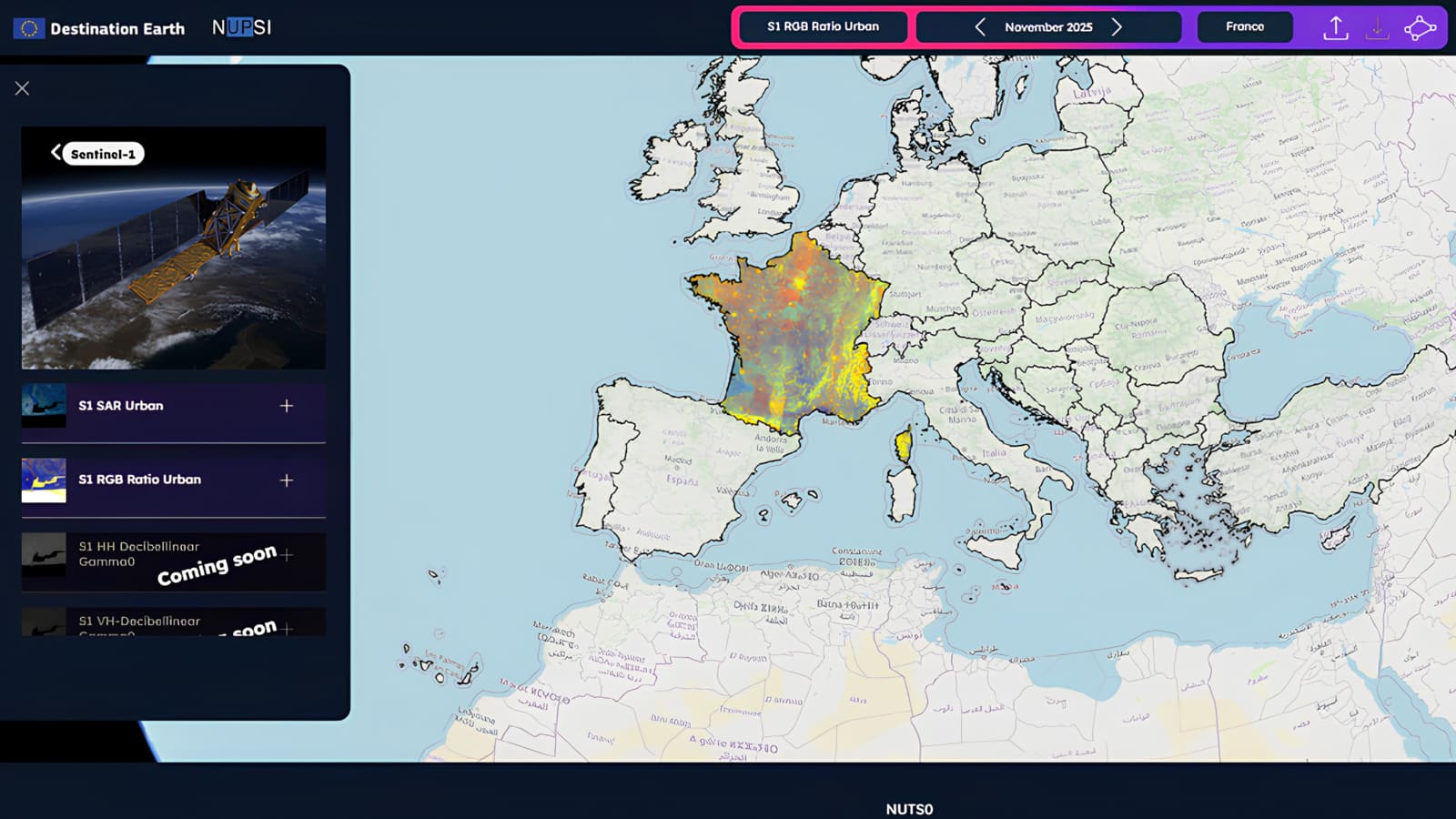
• Guided data exploration: explore Copernicus datasets over predefined NUTS regions or custom AOIs
• Temporal analysis: navigate monthly mosaics through an interactive timeline to monitor change over time
• Flexible area selection: analyze data using freehand drawings, GeoJSON imports, or administrative boundaries
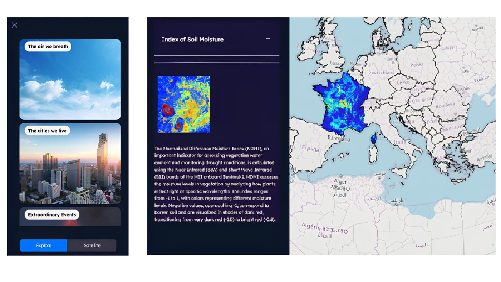
• Multi-parameter visualization: view satellite-derived parameters from different thematic perspectives
• Data access and download: retrieve pre-processed mosaics or request custom products and GeoTIFF outputs
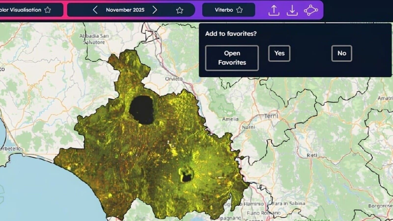
• Favorites and reuse: save visualizations to quickly reproduce analyses in future sessions
Service details

Operated by:

FUNDED by: 

STATUS:

Operational

version:

1.1.0

Thematic Areas

Data Access
Policy Making & Decision Support

Gallery

Resources

This video tutorial provides an overview of NUPSI, its purpose, and the audiences it is designed for.
This video tutorial explains how to manage the favorites list.
This video tutorial shows how to download a GeoTIFF file.
This video tutorial shows how to select an area on the map and how to navigate between different NUTS levels.
This video tutorial shows how to create custom sections using the Polygon tool and how to load a GeoJSON file.
This video tutorial explains how to use the product menu and make selections (by thematic areas or by satellite source).

Similar Services

You are about to leave the DestinE platform website

By proceeding, you might be redirected to the website of a third party, which will act as an independent data controller with respect to the personal data collected through its own website, as described in its relevant privacy notice.

Please note that:

Serco Italia S.p.A. remains the data controller of the personal data collected within the scope of the DestinE Platform, including where such data are collected through external platforms; such data will be processed in accordance with Serco Italia SpA’s Privacy Policy, which was made available to you prior to the collection of the personal data.

For further information on the processing of personal data carried out by Serco Italia S.p.A.  within the scope of DestinE platform, please consult the Privacy Policy