Monitor and anticipate the practicability of tourist activities according to environmental and weather conditions in your territory.
Destination Earth
Destination Earth is a flagship initiative of the European Commission to develop a highly-accurate digital model of the Earth (a digital twin of the Earth) to model, monitor and simulate natural phenomena, hazards and the related human activities. These groundbreaking features assist users in designing accurate and actionable adaptation strategies and mitigation measures.
DestinE unlocks the potential of digital modelling of the Earth system at a level that represents a real breakthrough in terms of accuracy, local detail, access-to-information speed and interactivity.
References
Services associated:

Monitor and anticipate the practicability of tourist activities according to environmental and weather conditions in your territory.
DestinEStreamer revolutionizes Earth Observation and climate data management, leveraging tech for seamless access, streamlined processing, and new services.
SesamEO makes data from Copernicus and others (statistics, atmospheric or climate) accessible via themes and collections from the catalogues. Collections can be browsed and searched by keyword. Products can be viewed, filtered and downloaded according to the provider’s capabilities.

A novel urban digital twin application to model environmental, social, and economic impacts of road network, mobility
and urban fabric interventions.
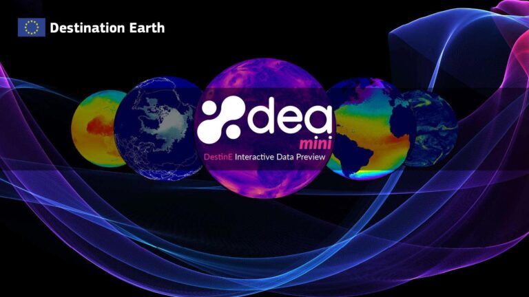
miniDEA is a lightweight, interactive, pluggable and easy to use web visualization component, powered by DEA, for previewing DestinE data.
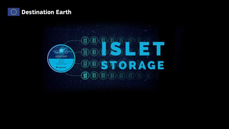
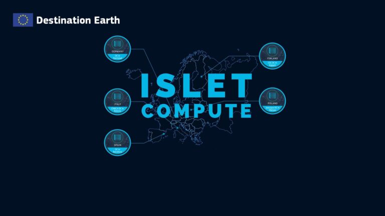
Infrastructure / Platform as a service. Users can deploy and run legacy applications in proximity to the “DestinE Data Portfolio” data available in the DestinE Data Lake.
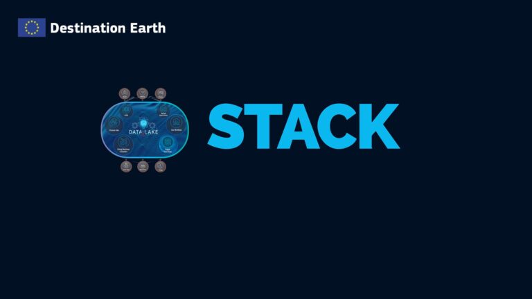
DestinE Data Lake Stack Service (SaaS – Jupyterlab/ DASK) facilitate near data processing.

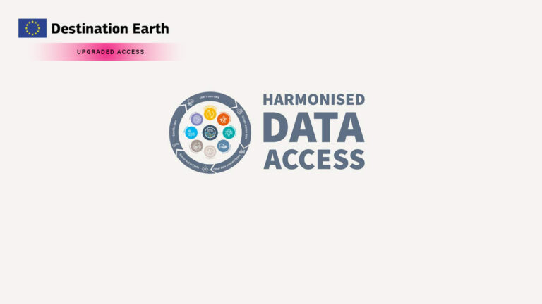
TERMS AND CONDITIONS FOR DESTINATION EARTH (DestinE) USERS GRANTED UPGRADED ACCESS
The following Terms and Conditions are released by the European Commission and will be applicable for the initial stage of the operation of DestinE, which is still under development.
Please read them before registering for the upgraded access to DestinE.
ARTICLE 1: DEFINITIONS
For the purposes of these Terms and Conditions, the following definitions apply:
Academia and Research: Public academia and research teams contributing or participating to the development of DestinE, either directly or through EU-funded research projects and activities or through relevant EU Member States or Associated Countries programmes or initiatives.
Associated Country: non-EU country associated to the Digital Europe Programme.
Destination Earth (DestinE): a flagship initiative of the European Commission to develop a highly accurate digital model of the Earth to model, monitor and simulate natural phenomena, hazards and the related human activities.
DestinE Core Service Platform (DestinE Platform): a user-friendly platform that provides a large number of users with evidence-based policy and decision-making tools, applications and services, based on an open, flexible, scalable and evolvable secure cloud-based architecture.
DestinE Data: Earth-system monitoring and prediction system output as provided by Destination Earth Digital Twins, as well as data that are generated by applications for Destination Earth and made available in the DestinE Data Lake.
DestinE Data Lake: a self-standing DestinE system component, interfacing with the Core Service Platform, Digital Twins and Digital Twin Engine, built from geographically distributed physical elements, that references and provides seamless access via GUIs or APIs to data in accordance with the DestinE Data Portfolio. The Data Lake supports near-data processing to maximize throughput and service scalability.
DestinE Data Portfolio: the DestinE Data Portfolio is tailored to user needs and composed of federated data, Digital Twin data and DestinE user generated data with a specified and agreed lifecycle.
(DestinE) Digital Twin(s) (DT(s)): Highly accurate replicas of the Earth-system that simulate the system’s behaviour, allowing to monitor and predict environmental change, test scientific hypotheses and adaptation scenarios. DestinE’s DTs combine several cutting-edge Earth-system models and Earth observations as well as advanced data analytics and integration and interoperability with impact sector applications. They are DestinE system components, interfacing with the Digital Twin Engine, offering a seamless production service of actionable knowledge for users that results from the fusion of observational and simulated data of the physical Earth system and of impact-sector relevant information.
Digital Twin Engine (DTE): Software-defined environment to operate DestinE’s DTs and manage their corresponding control and data flows across distributed HPC and cloud computing resources. It provides a common system approach to a unified orchestration of Earth-system Digital Twins. Moreover, it creates a framework for the fusion of observations with Earth-system simulations and the integration of applications targeting specific impact-sectors via selected use cases. The DTE enables the porting and optimization of codes, developing and managing the digital twin workflows, and provides the data handling and model interaction and interactivity capabilities that run on diverse HPC and cloud infrastructures including the Data Warehouse hosted on the data bridges. The DTE concept focuses on interoperability and interactivity and delivers the expected access agility and performance for the digital twins and associated data access.
DestinE Entrusted Entity: an entity implementing respective entrusted tasks in connection with DestinE in accordance with their respective contribution agreements, such as ECMWF, ESA and EUMETSAT.
DestinE Entrusted Entity’s Contractor(s): a legal entity with which a DestinE Entrusted Entity has a contract for provision of services, supplies or works for the implementation of DestinE in accordance with a respective contribution agreement.
DestinE Services for Users Granted Upgraded Access: all services accessible to Users Granted Upgraded Access through DestinE Platform.
EU Emblem: The official emblem of the European Union. Download the EU Emblem and graphical information
Intellectual Property Rights (IPR): any exclusive or non-exclusive right which exist in any intellectual property, in particular (but not limited to) any copyrights, database rights, patents, trademarks, service marks, design rights, or trade secrets together with any benefits which such Intellectual Property Rights give to the holder, in particular (but not limited to) the right to use, copy, modify, correct, adapt, enhance, improve, update, make new releases or new versions of, make derivative works of, offer, sell, lease, rent, license, distribute in any other way against or without payment, display, broadcast, transmit, or make accessible in networks (e.g. Internet, Intranet) the intellectual property in question in whole or in part and any copies thereof.
Member States: the States which are members of the European Union.
User Granted Upgraded Access (User): a registered user whose Upgraded Access to DestinE has been validated by the European Commission. Users Granted Upgraded Access are the following categories: Public authorities, Academia and Research, SMEs and start-ups, Third-country public authorities, DestinE Entrusted Entities’ staff and DestinE Entrusted Entities’ Contractors.
Public authorities: selected public authorities of EU Member States and Associated Countries. These include the EU institutions, agencies and bodies, public authorities of EU Member States and Associated Countries that have been granted Upgraded Access to the DestinE Services for Users Granted Upgraded Access and DestinE Data for official duty activities.
SME’s & start-ups: EU and Associated Countries SME’s and start-ups contributing to or participating in the implementation and further development of DestinE.
Third country public authorities: selected third country public authorities following EU’s international commitments. These include The National Oceanic and Atmospheric Administration of the United States (NOAA), other public sector entities authorised under the AI4Good Administrative Agreement, and selected public authorities from the member states of DestinE Entrusted Entities.
Upgraded Access: access to all DestinE’s (advanced) features and services available on the DestinE Platform to test, help improve and develop the system.
ARTICLE 2: GRANT OF RIGHTS AND LIMITATIONS
2.1. The European Commission grants the User personal access to the DestinE Services for Users Granted Upgraded Access and DestinE Data strictly for official use within the scope of activities of the User, subject to the User’s acceptance of these Terms and Conditions.
2.2. The Users’ access rights are linked to their personal accounts and are non-transferable.
2.3 The User may only create and distribute services/applications/tools/data from which the original DestinE Data cannot be retrieved or reverse engineered.
2.4. The User shall not use the DestinE Services for Users Granted Upgraded Access and DestinE Data or any associated data, software, documentation, or other information for any purpose that contradicts the purposes outlined in Articles 2.1 and 2.3 without the prior written consent of the European Commission.
2.5. The User shall not reproduce, distribute, license, transfer, assign, sell, disclose to, or otherwise forward the DestinE Data or any associated data, software, documentation, or other information to any third party without the prior written consent of the European Commission.
ARTICLE 3: OWNERSHIP, INTELLECTUAL PROPERTY RIGHTS, AND ATTRIBUTION REQUIREMENTS
3.1. The DestinE Data remain the exclusive property of the European Union. The User’s rights to use the DestinE Data are specified in these Terms and Conditions, and the European Union retains all rights not expressly granted to the User in this document. The User may be required to clear additional rights if a specific content depicts identifiable private individuals or includes third-party works. To use or reproduce content that is not owned by the European Union, you may need to seek permission directly from the rightsholders.
3.2. The User acknowledges that all intellectual property rights to the DestinE Data belong to the European Union.
3.3. Subject to Articles 3.1 and 3.2, the intellectual property rights related to services/applications/tools/data created by the User using the DestinE Services for Users Granted Upgraded Access and DestinE Data are owned by the User creating those services/applications/tools.
3.4. The Users creating services/applications/tools/data using the DestinE Services for Users Granted Upgraded Access and DestinE Data shall mention that they rely on these elements and refer to the European Commission in their distribution, as well as indicate if changes were made to DestinE Data. For avoidance of doubt, ‘changes’ will include but will not be limited to aggregation, transformation, interpolation or integration with other data sources, which results in services/applications/tools/data that are distinct from the DestinE Services for Users Granted Upgraded Access and DestinE Data and must be clearly identified as such. The User shall not describe, present, or otherwise represent any services/applications/tools/data derived from or based on the DestinE Services for Users Granted Upgraded Access and DestinE Data as original DestinE Services for Users Granted Upgraded Access and DestinE Data. The attribution must be displayed prominently and provided alongside, within, or co-located with the services/applications/tools/data in the form of the following wording: “This service/application/tool/data is created [based on data of the European Commission] and/or [using Destination Earth Platform] (but has been modified by [User’s name]).” The User may be required to include additional attributions if a specific content depicts such a requirement.
3.5. The User accepts all responsibility and liability for the services/applications/tools/data created by the User using the DestinE Services for Users Granted Upgraded Access and DestinE Data.
ARTICLE 4: NON-LIABILITY
4.1. The European Commission shall accept no responsibility or liability regarding any services, data and information on the DestinE Platform.
4.2. DestinE Data are provided without any express or implied warranty from the European Commission as regards their quality, accuracy, completeness, availability, reliability, speed and suitability for any purpose. The European Commission may make changes to their content at any time and will notify the users of these changes on best effort basis.
4.3. By using the DestinE Platform, Services for Users Granted Upgraded Access and DestinE Data, the user renounces any claim for damages against the European Union. The scope of this waiver encompasses any dispute, including contracts and torts claims, that might be filed in court, in arbitration or in any other form of dispute settlement.
ARTICLE 5: EXTERNAL WEBSITE DISCLAIMER AND DATA PROTECTION
5.1. The DestinE Platform website is an external website, which is not owned by the European Commission, and for which the European Commission assumes no responsibility.
5.2. When Users choose to use the above-mentioned external website, they are subject to the cookie, privacy, and legal policies of that external website. The European Commission can instruct the external website to display or include a link to the European Commission’s privacy notice, which shall be identified as such.
5.3. Compliance with applicable data protection and accessibility requirements of external websites is the explicit responsibility of the external website.
ARTICLE 6: USE OF THE EU EMBLEM BY THIRD PARTIES
6.1. The principles of use of the EU emblem by third parties have been set out in an administrative agreement with the Council of Europe. This agreement has been published in the Official Journal of the European Union on 08/09/2012 (2012/C 271/04). According to this agreement, any natural or legal person (“third-party user”) may use the EU emblem or any of its elements, as long as this use:
6.2. If the use of the EU emblem complies with the above conditions, there is no need to ask for written permission.
6.3. Registration of the EU emblem, or a heraldic imitation thereof, as a trademark or as any other IP right is not acceptable.
ARTICLE 7: ENTIRE AGREEMENT
These Terms and Conditions constitute the entire agreement between the User and the European Commission regarding the use of the DestinE Services for Users Granted Upgraded Access and DestinE Data.
ARTICLE 8: CHANGES TO TERMS AND CONDITIONS
The European Commission reserves the right to modify or update these Terms and Conditions at any time without prior notice. The User’s continued use of the DestinE Services for Users Granted Upgraded Access and DestinE Data shall be deemed acceptance of the modified or updated Terms and Conditions.
ARTICLE 9: ACKNOWLEDGMENT
By accepting these Terms and Conditions, the User acknowledges that they have read, understood, and agreed to be bound by these Terms and Conditions.