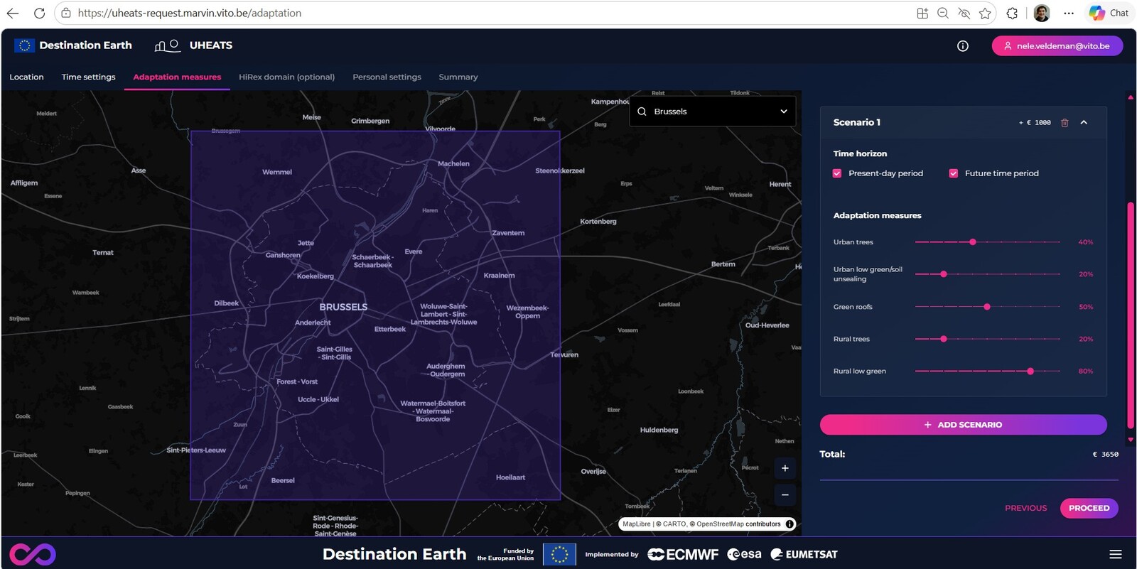
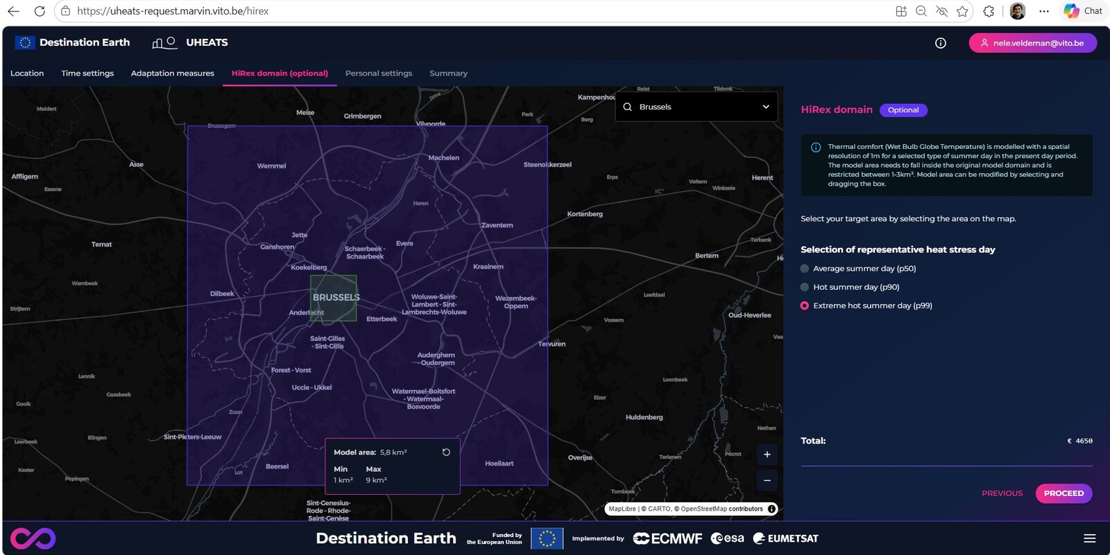
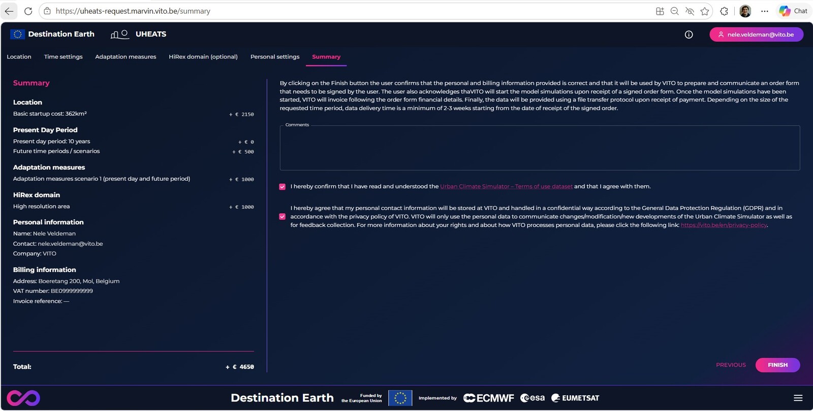
The Urban Heat Pilot Service is designed to help cities mitigate the risks of extreme heat and its impacts on public health, productivity, and urban infrastructure. The service delivers high-resolution urban climate variables and impact indicators that can inform urban climate adaptation strategies. It aims to provide city administrations and stakeholders with (1) actionable information to assess current and future heat risk hazards and its impacts on human health and labor, (2) information on the effectiveness of climate adaptation measures, such as green roofs, tree planting, soil unsealing and changing color of buildings, (3) improved urban resilience to heatwaves, which are expected to become more frequent due to climate change.