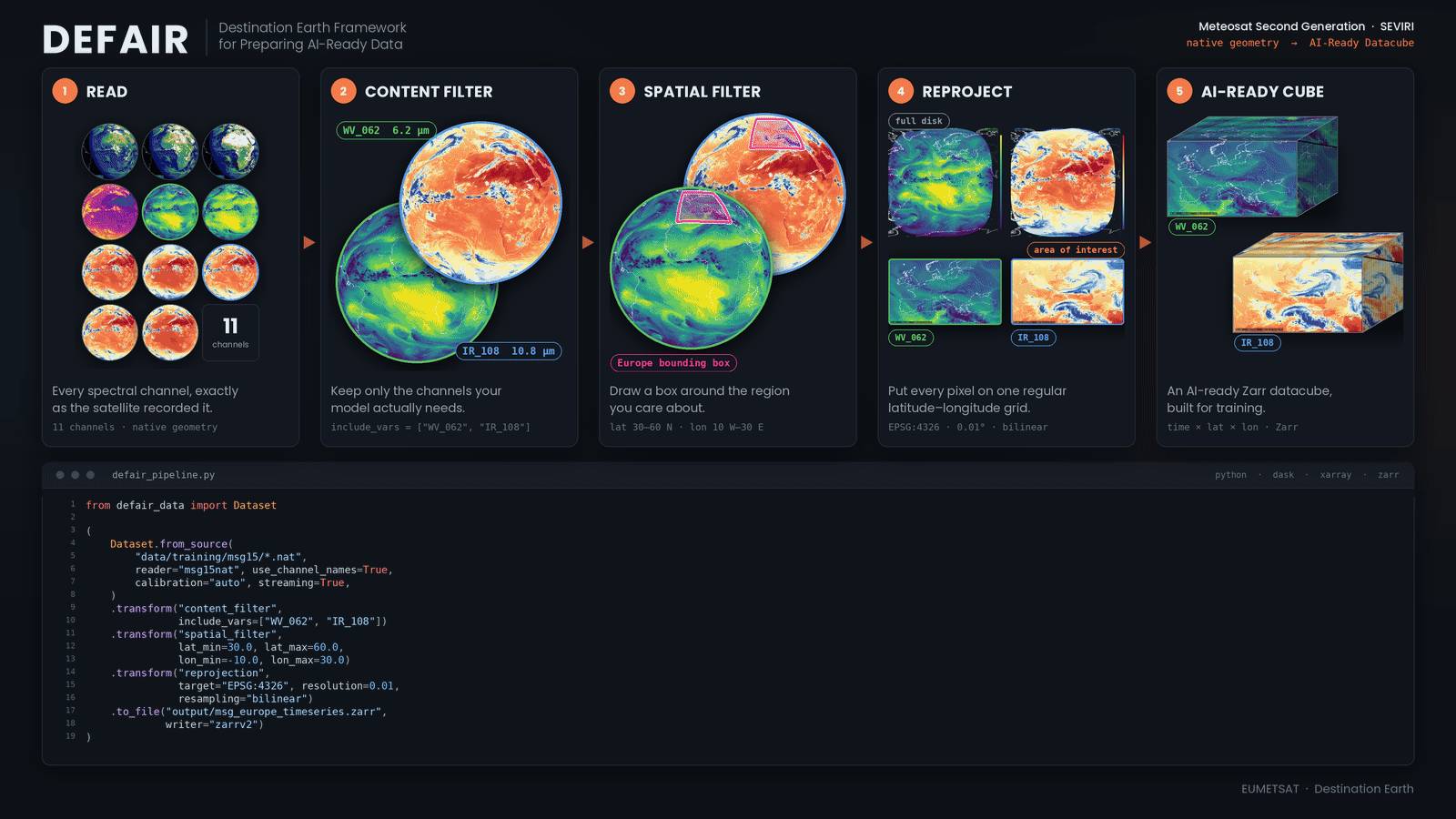
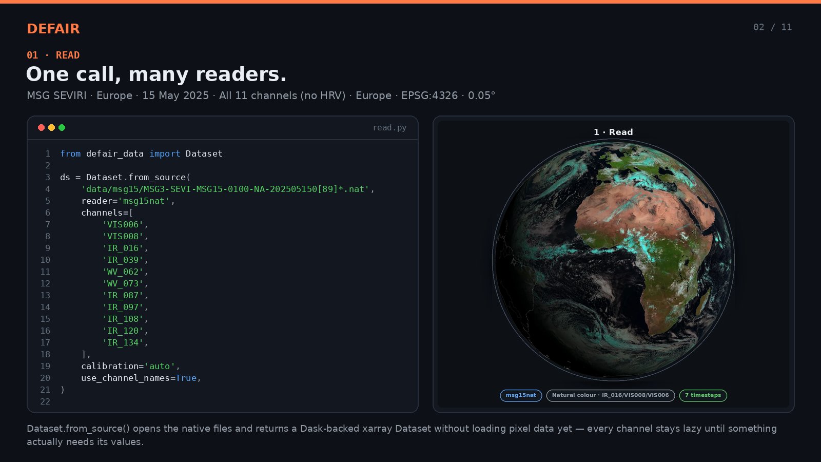
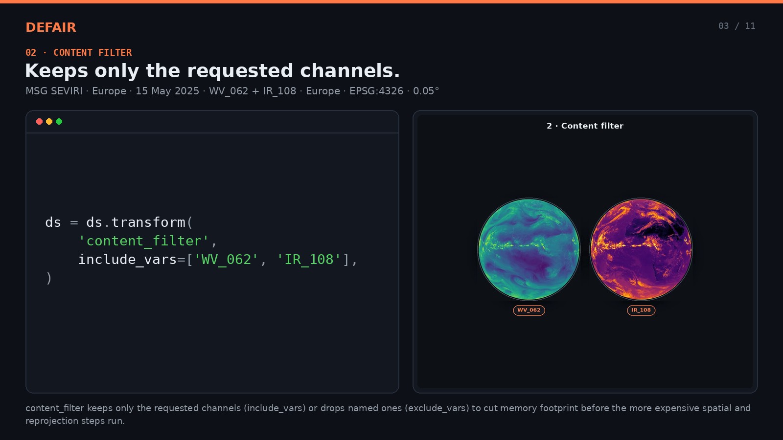
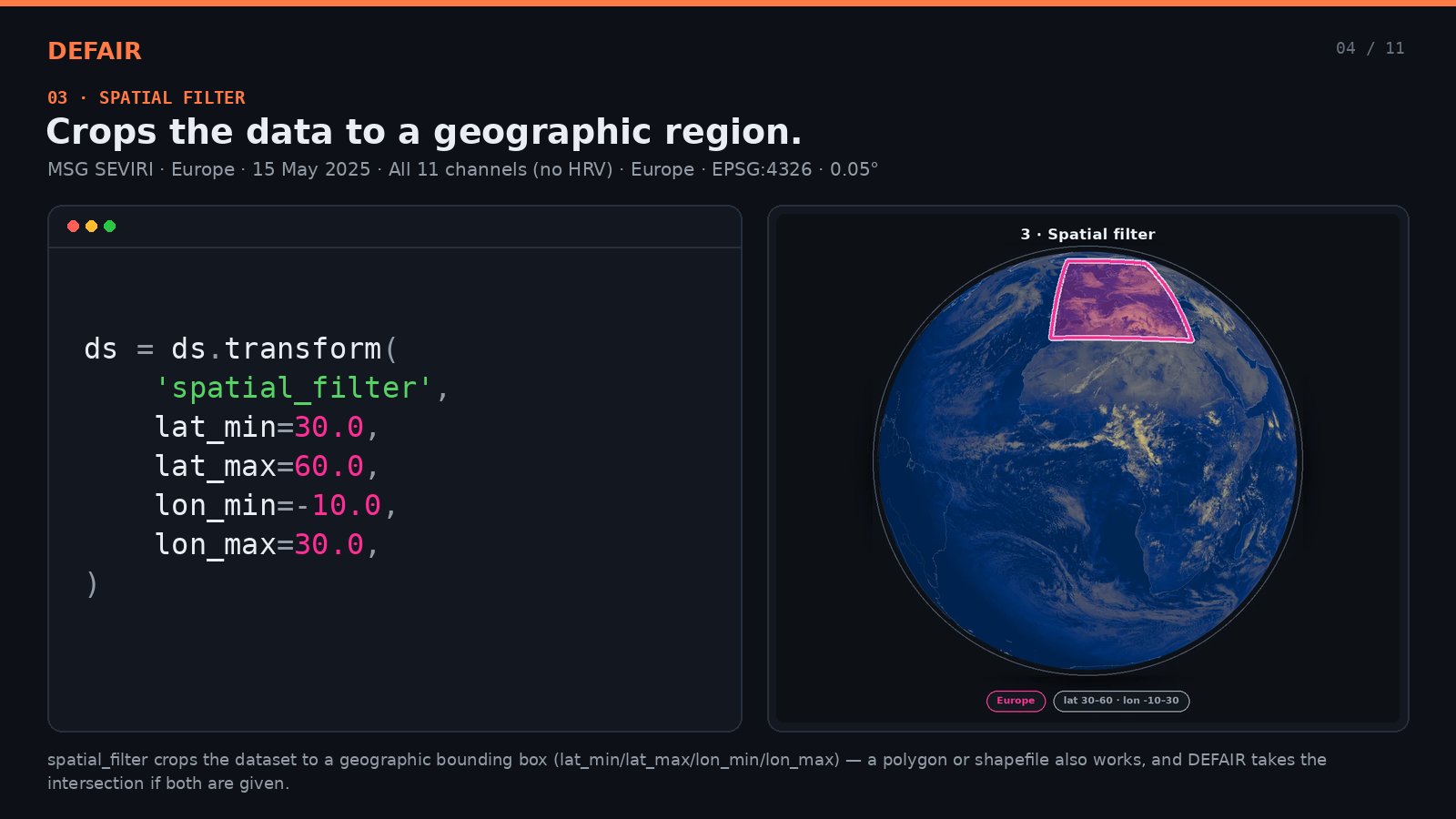
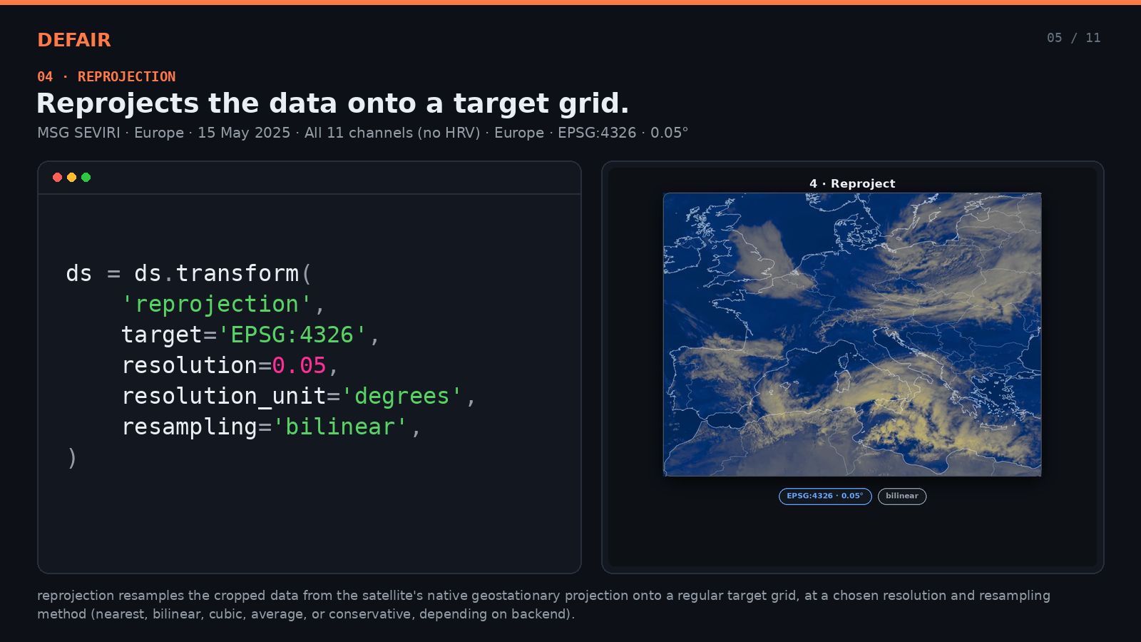
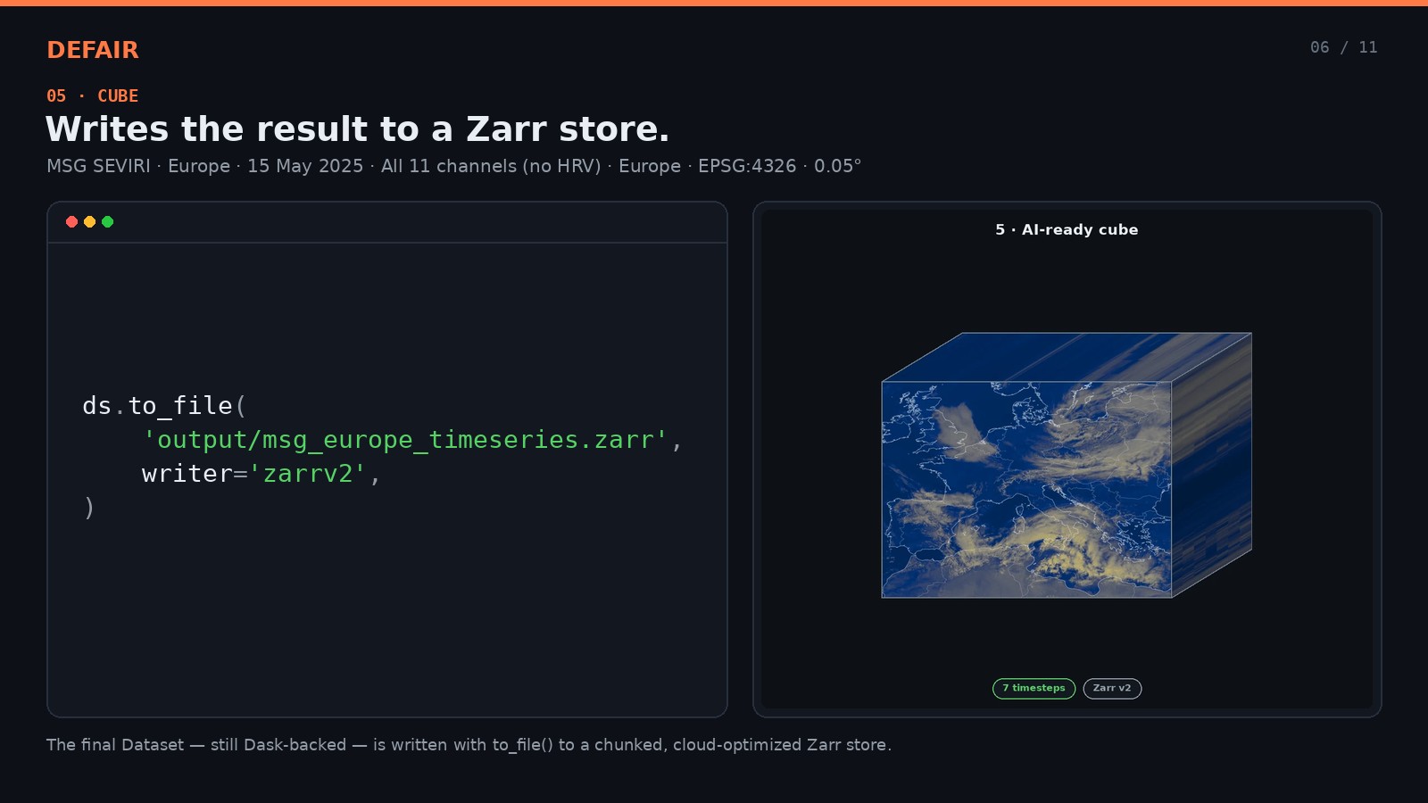
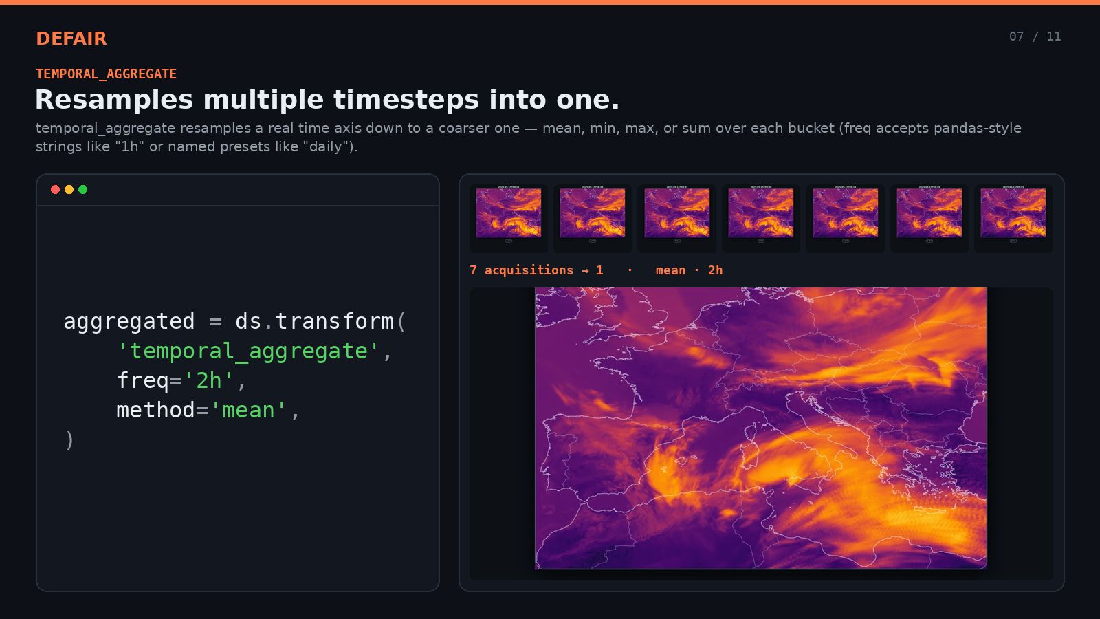
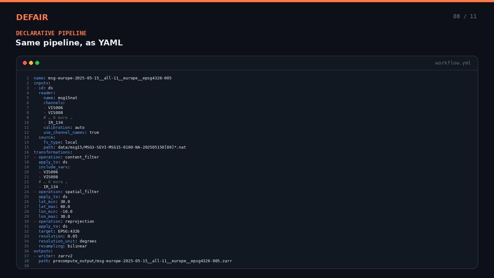
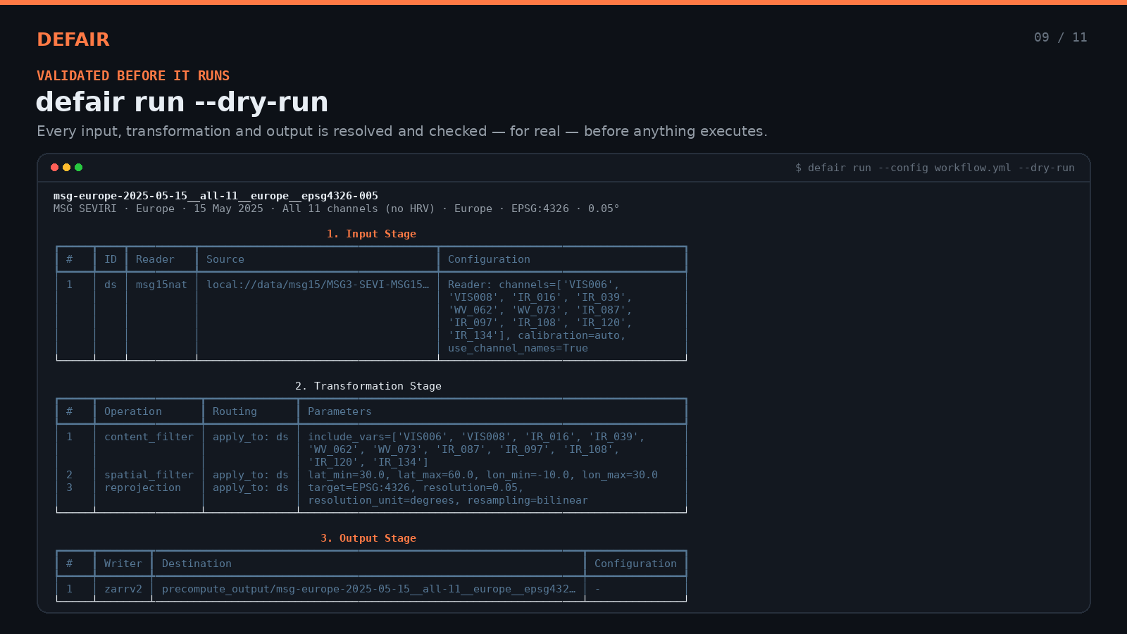
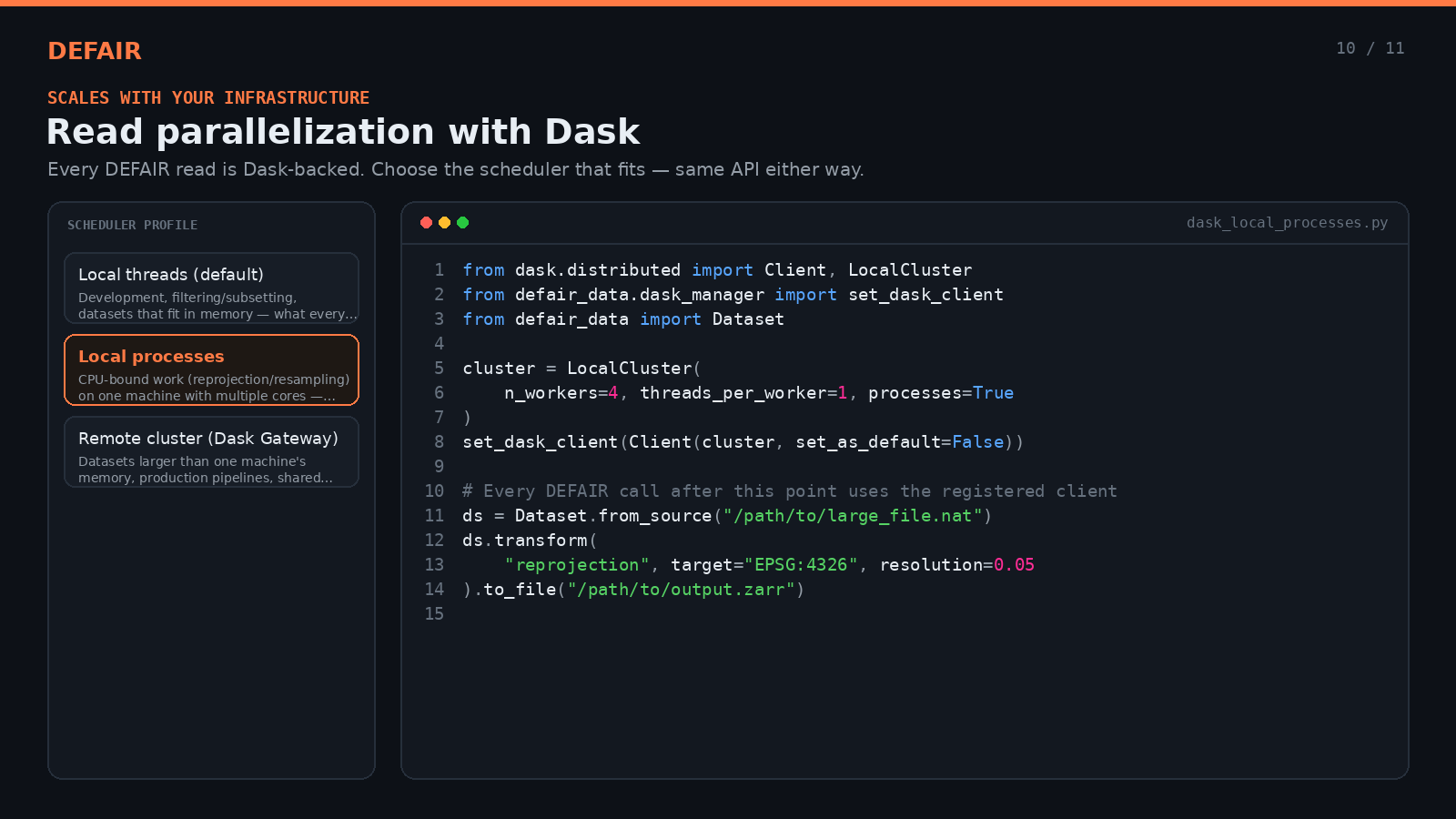
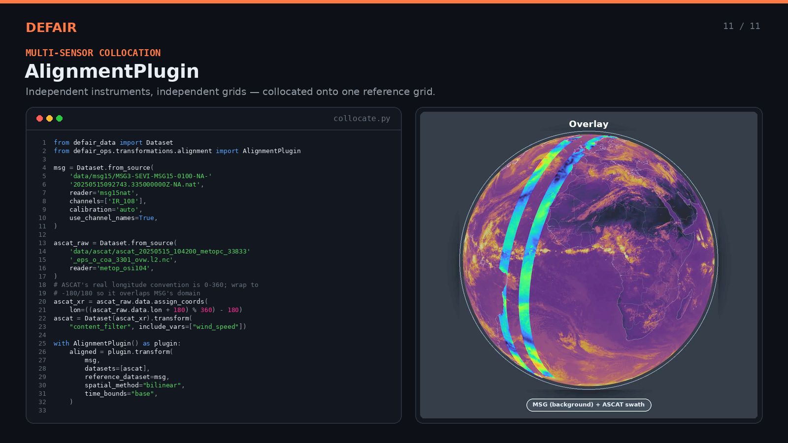
DEFAIR is a Python library that bridges the gap between supported Earth Observation satellite datasets and using data in an AI/ML-ready form. It provides a unified API, built on xarray and Dask, for reading multi-instrument satellite data, pre-processing it, reprojecting to standard coordinate reference systems including geographic and HEALPix, and exporting the output to popular formats such as NetCDF, GeoTIFF and Zarr. Targeted towards the Destination Earth Data Lake (DEDL) data portfolio, DEFAIR abstracts away the complexity of heterogeneous EO data formats and instrument-specific projections, enabling researchers and data scientists to focus on AI model development rather than data engineering.