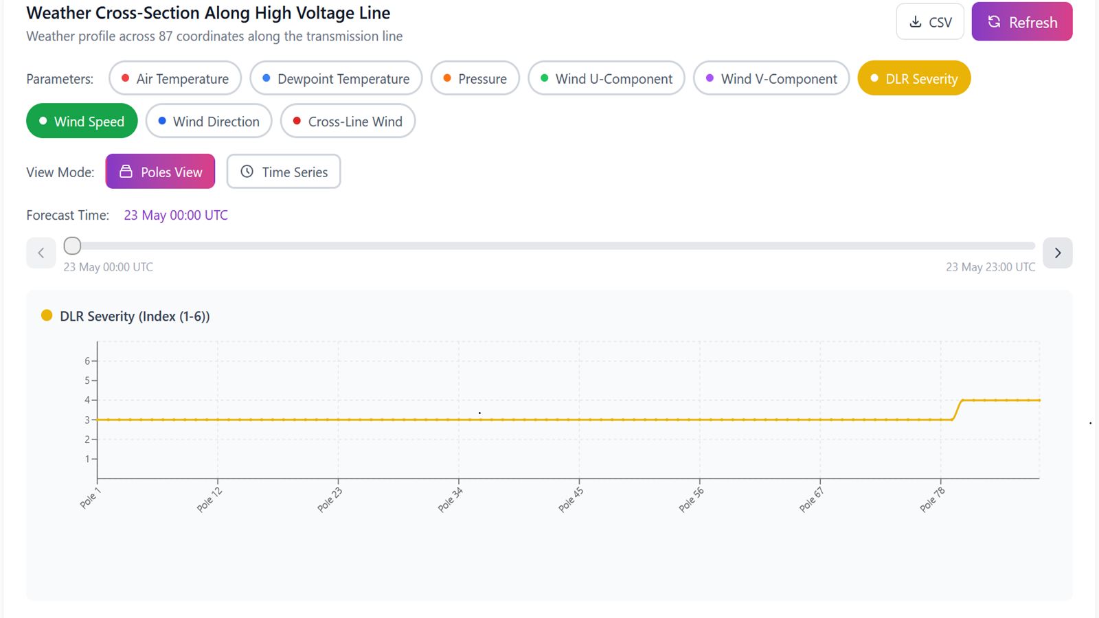
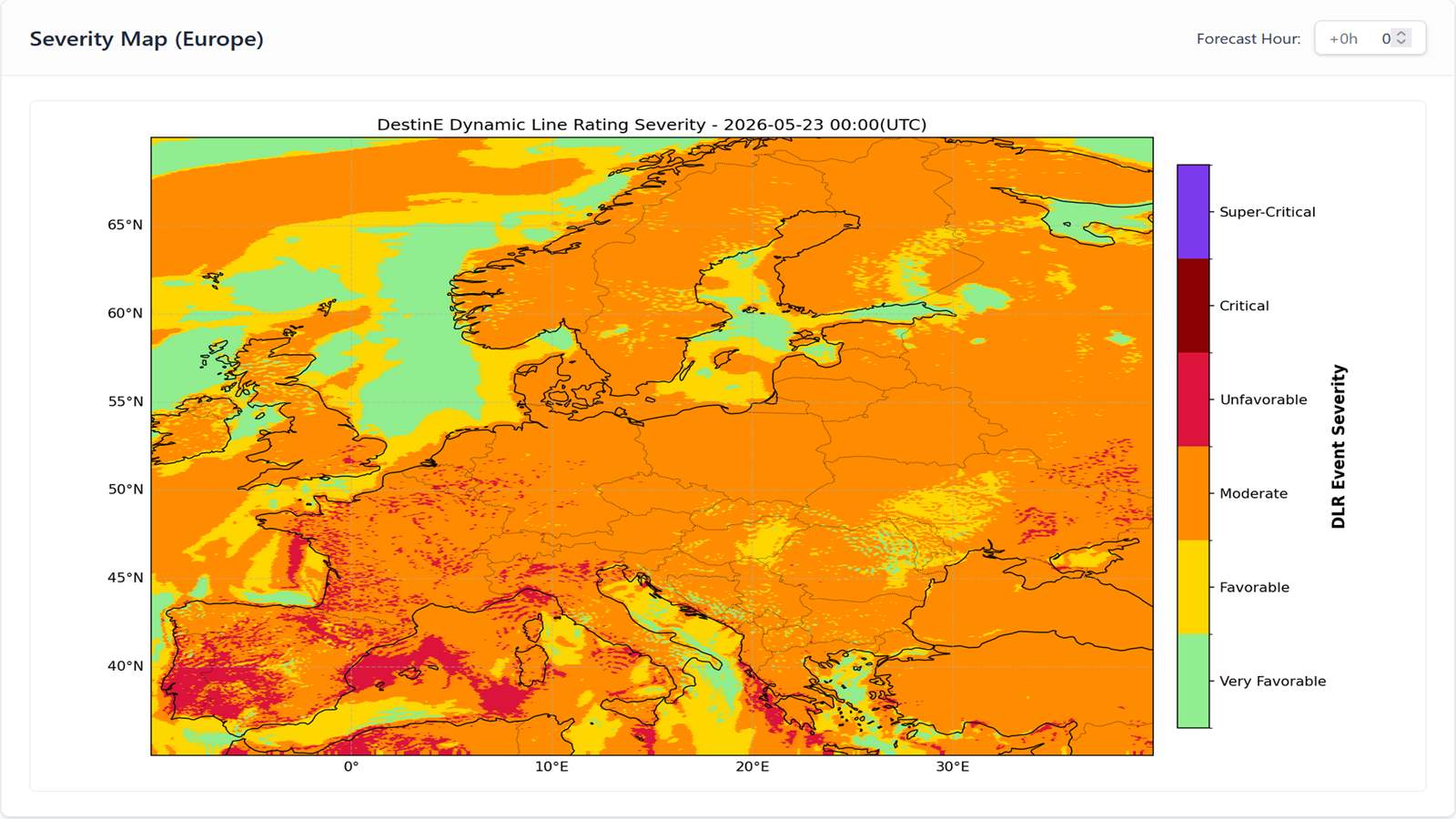
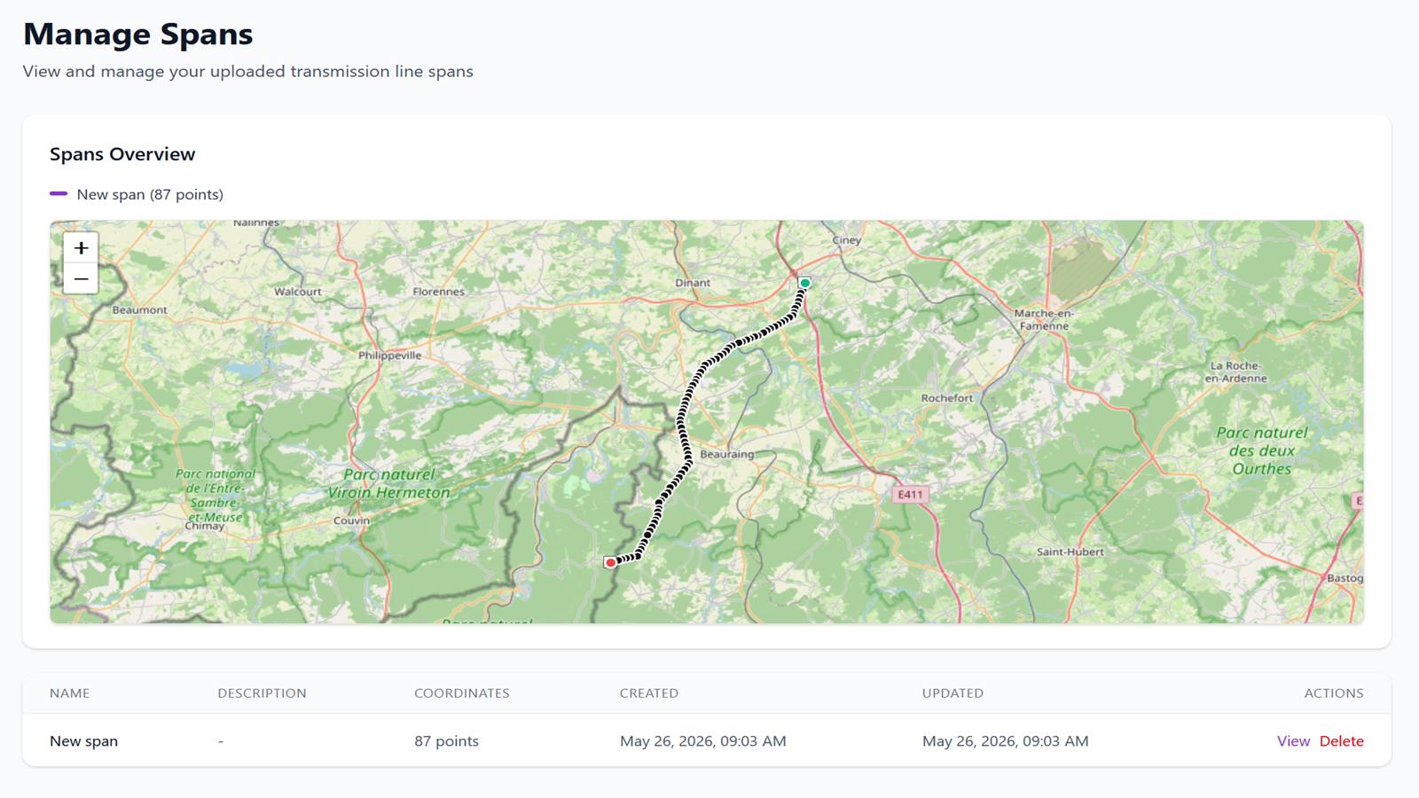
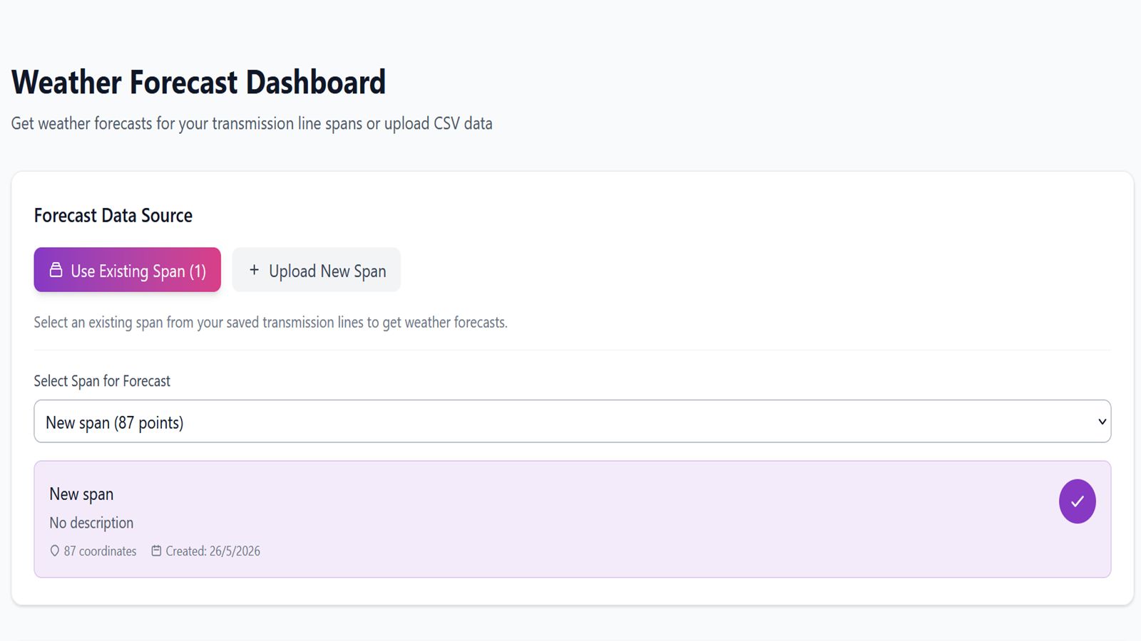
HIRENEXT is a pilot service delivering high-resolution weather forecasts from the Destination Earth Extremes Digital Twin to help Transmission System Operators (TSOs) assess Dynamic Line Rating (DLR) conditions along power line corridors. Users upload a CSV of pylon/mast coordinates to define a transmission span, then request a 0–23 hour meteorological forecast for that corridor. The backend queries the DestinE Extremes Digital Twin via the Polytope API, interpolates variables (wind, temperature, pressure) to each coordinate, and classifies DLR conditions on a six-class severity scale using a CIGRE-based composite algorithm. Results are displayed as time-series charts per parameter and as a continental Severity Map providing a Europe-wide overview of current DLR conditions.