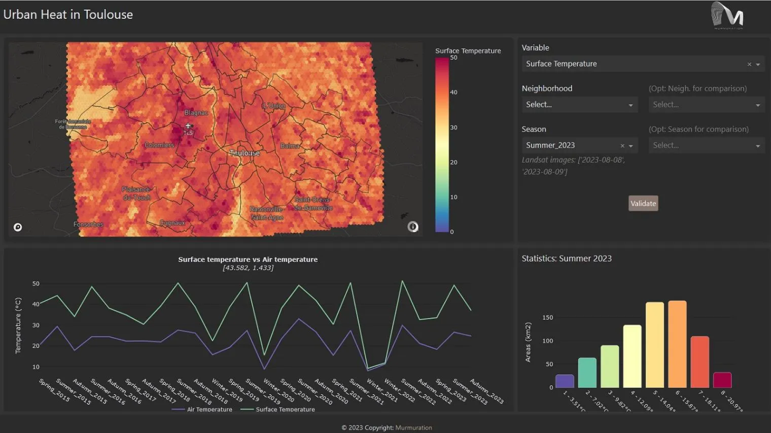
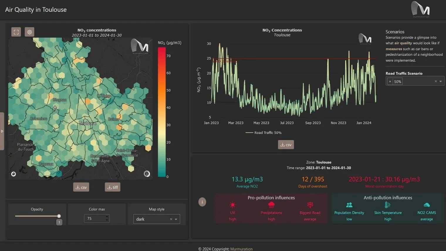
The Urban Square project aims to provide tools to analyse and anticipate environmental threats in urban areas: air quality, fluvial flood, sea level rise, urban heat, infrastructure damages and impact on resources. Urban Square provides demonstrational applications that illustrate the service capabilities, with datasets covering the cities of Toulouse (France) and Valencia (Spain) for the period from 2015 to 2024.
The Urban Square project aims to provide tools to analyse and anticipate
environmental threats in urban areas: air quality, fluvial flood, sea level rise, urban
heat, infrastructure damages and impact on resources.
About the service
Service details
FUNDED by:
STATUS:
Operational
version:
1.0.0
Thematic Areas
Policy Making & Decision Support
Risk & Resilience
Urban, Transports & Tourism
This service is available to all registered users. Please note that some DestinE Digital Twins-related functionalities are exclusively accessible with Upgraded Access credentials. To request Upgraded Access, apply here.
Gallery


Resources
CopernicusCopernicus
Copernicus Emergency Management Service (CEMS)Copernicus
Destination EarthDestinE
What is UrbanSquare, with a presentation of the different thematic components and how to use them.