Access and exploit data
The HIGHWAY service seamlessly integrates ESA Earth Explorer datasets into the DestinE framework and beyond, offering tools for cataloguing, access, visualization, and data processing.
Upgraded Access
SesamEO makes data from Copernicus and others (statistics, atmospheric or climate) accessible via themes and collections from the catalogues. Collections can be browsed and searched by keyword. Products can be viewed, filtered and downloaded according to the provider’s capabilities.
Beta Testing
Real-time sensor data integration platform for IoT & ground-station streams.
Insula the Hub between Data and Decisions. Seamlessly incorporate your algorithms and leverage the powerful orchestrator for large-scale data processing with Insula processing.
Beta Testing
The COMEO service aims to compress Earth Observation and Modeling data using lossy algorithms.
The fastest route to access and analyse earth data. The data are pre-processed to allow browsing, interrogation, access and fast cloud-based computing through standard technologies like STAC, xarray, zarr.
Upgraded Access
The Data Cache Management Service (DCMS) supports the Digital Twin initiative by managing and expanding the DestinE Platform’s Data Portfolio, providing access to EO data through efficient data handling, storage, and user-driven data requests.
Upgraded Access
EDEN is the place to discover and access Earth’s Digital Twin to monitor the effects of natural and human activity on our planet, anticipate extreme events and adapt policies to climate-related challenges.
Insula, the Hub between Data and Decisions. Effortlessly process complex information and generate clear visualizations, transforming raw numbers into insightful maps and graphs.
Upgraded Access
DestinEStreamer revolutionizes Earth Observation and climate data management, leveraging tech for seamless access, streamlined processing, and new services.
Discover DestinE applications
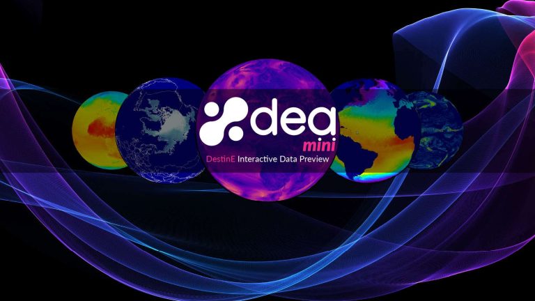
miniDEA is a lightweight, interactive, pluggable and easy to use web visualization component, powered by DEA, for previewing DestinE data.
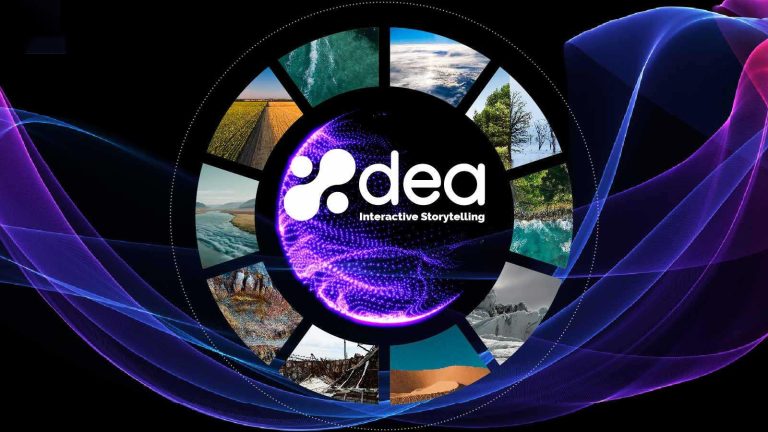
Content creation service and no-code platform for DestinE storytelling and data visualization. Users can combine DEA data with their own assets to share engaging visualizations with the community in a simple way.
Process and visualize fish biologging data in combination with climate projections to improve marine conservation planning and fisheries
management under changing ocean conditions.
Beta Testing
The High-Resolution Land Surface Temperature (Hi-Res LST) service provides high-resolution 30m land surface data using advanced machine learning applied to the spatial 1km land surface temperature product from Sentinel-3.
Beta Testing
The Quantum Service offers a range of emulator environments based on popular quantum computing frameworks. These environments are accessible through JupyterLab notebooks.
Beta Testing
Intuitive satellite data access and analysis service for European NUTS regions and custom areas of interest. NUPSI helps users explore, compare, and monitor Copernicus data over time through guided visualizations and ready-to-use products.
Upgraded Access
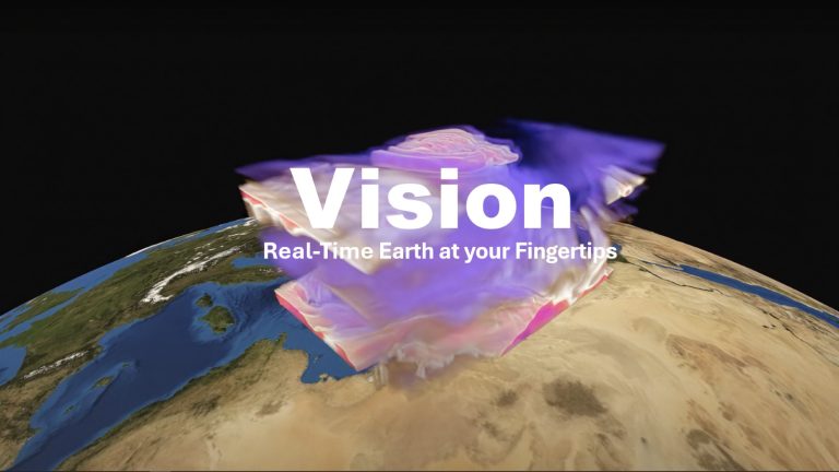
Vision is an application running on user’s device, connected to a back end on DestinE Platform that offers an advanced 3D rendering technology providing on demand access to Digital Twin data produced by ECMWF and puts them at user’s fingertips on different platforms, from PC and Mac, to Virtual Reality and Augmented Reality devices, making complex data accessible and understandable to a broad audience.
Raises awareness on urban heat risks and supports data-driven climate resilience strategies.
Beta Testing
Geospatial AI platform for Earth Observation data processing, analysis, and AI model training and inference.
Upgraded Access
The Urban Square project aims to provide tools to analyse and anticipate
environmental threats in urban areas: air quality, fluvial flood, sea level rise, urban
heat, infrastructure damages and impact on resources.
Upgraded Access
The Destination Renewable Energy (DRE) Service forecasts and assesses solar and wind energy potential using real-time and historical data, offering tailored simulations, 2-day forecasts, and interactive visualizations through a secure digital platform.
GeoAI is a cutting-edge geospatial AI platform that revolutionizes the way businesses and individuals harness the power of AI for earth observation use cases. Effortlessly design and implement your custom AI-driven solution.
Monitor and anticipate the practicability of tourist activities according to environmental and weather conditions in your territory.
A novel urban digital twin application to model environmental, social, and economic impacts of road network, mobility and urban fabric interventions.
Vizlab offers an intuitive GUI and advanced 3D rendering technologies, to provide immersive storytelling experience that goes beyond simple data visualization, making complex data sets accessible and understandable to a broad audience.
“Destination Earth Sea Ice Decision Enhancement” service providing comprehensive sea ice and related information for policy and operational decision makers in the Baltic Sea, European Arctic Ocean, and other polar regions.
The DeltaTwin® service offers a collaborative toolbox to build and share your digital twin components. The UI is organized into sections facilitating seamless data representation and organization based on specific analysis topics. The Command line provides the same features as the UI in a CLI mode in order to enable developers to seamlessly script Delta command.
Satellite-based insights to measure quality of life.
Access DestinE data on the edge
Edge Service
DestinE Data Lake HOOK Service (FaaS – Workflows).
Upgraded Access
Edge Service
Discovery and data access of the DestinE Data Portfolio.
Edge Service
Aviso is a data notification service supporting geographically distributed workflow automation. It allows users to track DestinE data events and trigger own user events and easily send and receive notifications.
Edge Service
DestinE Data Lake Stack Service (SaaS – Jupyterlab/ DASK) facilitate near data processing.
Upgraded Access
Edge Service
Polytope is a web service to provide efficient access to hypercubes of DestinE Digital Twin data, also federating access between geographically distributed resources. Users can access the data via a client Python package.
Edge Service
Infrastructure / Platform as a service. Users can deploy and run legacy applications in proximity to the “DestinE Data Portfolio” data available in the DestinE Data Lake.
Edge Service
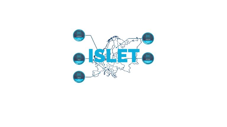
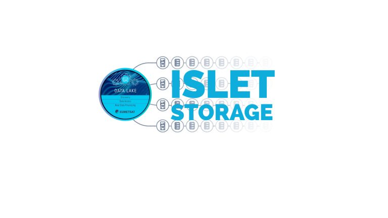
Destination Earth Data Lake – Islet Storage Service (S3).
Beta testing
Beta Testing
Intuitive satellite data access and analysis service for European NUTS regions and custom areas of interest. NUPSI helps users explore, compare, and monitor Copernicus data over time through guided visualizations and ready-to-use products.
Beta Testing
The High-Resolution Land Surface Temperature (Hi-Res LST) service provides high-resolution 30m land surface data using advanced machine learning applied to the spatial 1km land surface temperature product from Sentinel-3.
Beta Testing
The Quantum Service offers a range of emulator environments based on popular quantum computing frameworks. These environments are accessible through JupyterLab notebooks.
Beta Testing
Real-time sensor data integration platform for IoT & ground-station streams.
Beta Testing
The COMEO service aims to compress Earth Observation and Modeling data using lossy algorithms.
Beta Testing
Geospatial AI platform for Earth Observation data processing, analysis, and AI model training and inference.
Coming soon

Early warnings for mosquito abundance and disease risk.

DTE Hydrology Next is a Digital Twin Earth focused on the water cycle, hydrology and its different applications.

Desert locusts are among the most destructive migratory pests, with impacts worsened by climate change. The Desert Locust Monitoring Service uses AI and multi-source climate data to detect breeding conditions and predict swarm movements across Africa and Asia.

Discover, access, process, decide – all in one hub.

Satellite-based monitoring solution for the potato industry.
